i
A scrapbook of New Buckenham’s
past in old photos and documents.
Click the buttons to walk around this
historic Norfolk village in past times,
see who was there
and what’s been writte
n
© The New Buckenham Society 2015 (rev 2023)
Can you identify people or dates, or add a photo?
or
Please contact the archive here
Cookies are used to link to Google Analytics and Facebook but this site collects no personal information
Map of listed buildings
William Barber's almshouses
Town moat
Pigot's 1839
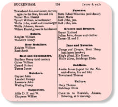
Hunt's 1850
Craven's 1856
Harrod's 1887
White's 1890
Kelly's 1904
Village street map
Listed buildings
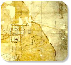
1597 map
1962 aerial view
1965 aerial view
1969 aerial view
1976 aerial view
Town moat
Site map
John Verdon and John Eldred
Wm Juby, Wm Barber and John Hill
Publicans
Dr Hamerton
Dam Brigg to Castle Hill Road
Dam Brigg
Buckenham Castle
Castle Hill Road
Vicarage corner
King Street and Queen Street
King Street west
King Street central
Kings Stores and butchers
King Street east
Queen Street
Market place
Market place south
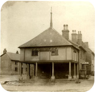
Market Cross
Forge
Market place west
Market place north and shops
School
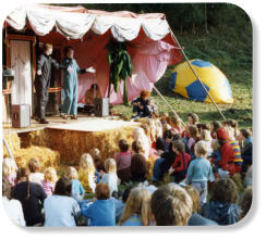
Market place festivities
Around the church
St Martin's Church
Church Farm and Hunt's Farm
The Grange
Chapel Street
George Hotel
Chapel Street east
Chapel Hill
Chapel Street west and chapel
Old village hall and Marsh Lane
Old village hall
Marsh Lane except old village hall
Boosey's Walk, Rookery and Rookery Farm
Around the common
Common
Play ground and cricket pitch
Towards Carleton Rode
Village map
Listed buildings
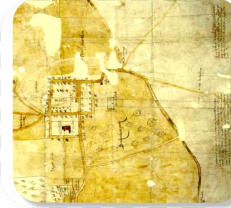
1597 map
Town moat
1962 aerial view
1965 aerial view
Late 60s/early 70s aerial view
1976 aerial view
Dam Brigg to Castle Hill Road
Dambrigg
Castle
Castle Hill Road
Vicarage Corner
Kings Street and Queen Street
King Street (west)
King Street (central)
King Street (Kings Stores and butcher)
King Street (east)
Queen Street
Market Place
Market Place south
Market Cross
Forge
Market Place west
Market Place north and shops
Artist's impression of Market Place 1820
Market Place east
School
Chapel Street
The George Hotel
Chapel Street east
Chapel Hill
Chapel Street west and Chapel
Marsh Lane
Marsh Lane, other than old village hall
Old village hall (Marsh Lane)
Boosey's Walk, Rookery and Rookery Farm
Around St Martin's Church
St Martin's Church and Church Street
Church Farm and Hunt's Farm
The Grange
Around the Common
Common
Play ground and cricket pitch
Towards Carleton Rode
Brief history of village
A moated town
William Barber's almshouses
History of village school 1848-1912
New Buckenham: the history of a market town
Historic buildings research report (NHBG)
History of individual properties
Parish News
Who was Boosey?
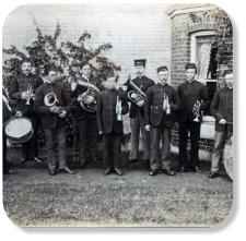
Silver Band
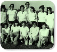
Sports
Football and cycle speedway
Darts, fishing and bowls
Cricket and shooting
Individual people
John Verdon
John Eldred
William Juby
William Barber
John Hill
Tony Hamerton
Reg & Jean Howling
Directories
Pigot's Directory 1839
Hunt's Directory 1850
Craven's Directory 1856
Harrod's Directory 1887
White's Directory 1890
Kelly's Directory 1904
Kelly's Directory 1922
Printed ephemera
Fêtes and festivities
Publicans
Buses and drivers
Buses and drivers (general)
Particular buses
Outings from the village
Roll of Honour
Past businesses
Businesses in the 1950s
Pre Second World War
1797 insurance policy
Written accounts
Newspaper articles
1974 account of 1906 great fire
Reinactment at castle
Funeral of Arthur Saunders 1936
Rogationtide in the 1590s
An evacuee's story
Childhood war time memories
Post-war childhood in the village
'Wisteria' in the 1950s
The Fair at New Buckenham
Films
Links to resources
New Buckenham Society
New Buckenham Neighbourhood Plan
1906 Great Fire
Fetes and festivities
Rogationtide in the 1590s
Football and cycle speedway
Darts, fishing and bowls
Cricket and shooting